UN
39 Ingra Walk
£ 126,000
Description
We don't have a Description for this property.
- Bedrooms
- 3
- Bathrooms
- 0
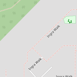
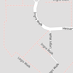

Leaflet © OpenStreetMap contributors
The heatmap indicates the level of crime in the area. The color of the heatmap indicates the crime severity and recency.
Metrics Year-on-Year
- Average area value
- 250,969.00 £Increased by 12.60 %
- Average area rental value
- 950.00 £/moIncreased by 2.26 %
- Est rental Yield
- 4.54 %Decreased by 9.20 %
- Crime Rate
- 26.00 %Unchanged by 0.00 %
from 222,882.00 £
from 929.00 £/mo
from 5.00 %
from 26.00 %
Nearby Schools
| Name | Type | Ofsted | Distance |
|---|---|---|---|
| Widewell Primary Academy | Academy Converter | Good | 0.73 KM |
| Oakwood Primary Academy | Academy Converter | Good | 1.31 KM |
| Bickleigh Down Church Of England Primary School | Voluntary Aided School | Good | 1.40 KM |
| College Of St Mark & St John | Higher Education Institutions | 1.98 KM | |
| Beechwood Primary Academy | Academy Converter | Good | 2.38 KM |
Images
Nearby Streets
| Name | Average Price | Average Sqft | Distance |
|---|---|---|---|
| Tavistock Road | £ 650,000 | 0 | 0.00 KM |
| Cromwell Gate | £ 220,000 | 0 | 0.00 KM |
| Oaklands Close | £ 350,000 | 0 | 0.00 KM |
| School Drive | £ 230,000 | 0 | 0.00 KM |
| Soper's Hill | £ 0 | 0 | 0.00 KM |
Nearby Transport
| Name | NLC | TLC | Distance |
|---|---|---|---|
| Plymouth | 3580 | PLY | 7.50 KM |
| Bere Ferrers | 3550 | BFE | 7.63 KM |
| Keyham | 3571 | KEY | 9.07 KM |
| St Budeaux Ferry Road | 3590 | SBF | 9.08 KM |
| St Budeaux Victoria Road | 3592 | SBV | 9.11 KM |
Nearby Listings
| Address | Price | Type | Score | Distance |
|---|---|---|---|---|
| Ingra Walk, Roborough, Plymouth, PL6 7DF | £ 215,000 | BUY | Unknown | 0.01 KM |
| Legis Walk, Roborough, PL6 7DE | £ 200,000 | BUY | 7 / 10 | 0.13 KM |
| Legis Walk, Roborough, Plymouth, PL6 7DE | £ 200,000 | BUY | 6 / 10 | 0.13 KM |
| Hessary Drive, Roborough, Plymouth | £ 230,000 | BUY | 7 / 10 | 0.23 KM |
| Beverston Way, Plymouth, PL6 | £ 200,000 | BUY | 5 / 10 | 0.29 KM |
Nearby Properties
| Address | Price | Distance |
|---|---|---|
| 11 Ingra Walk | £ 120,000 | 0.00 KM |
| 47 Ingra Walk | £ 97,000 | 0.00 KM |
| 16 Ingra Walk | £ 170,000 | 0.00 KM |
| 5 Ingra Walk | £ 162,000 | 0.00 KM |
| 55 Ingra Walk | £ 125,000 | 0.00 KM |